Hurricane Rafael forms in the Caribbean Sea and expected to enter the Gulf of Mexico
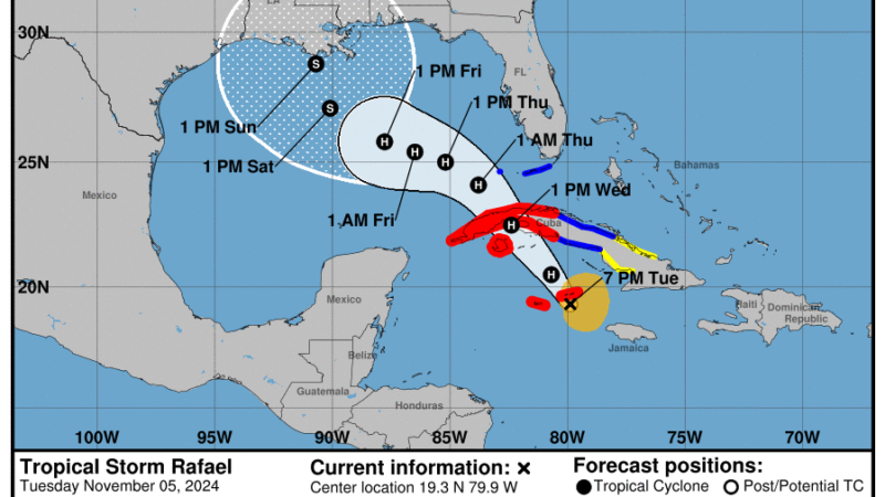
Rafael has strengthened into a hurricane as it moves through the southern Caribbean Sea.
The category 1 storm has maximum sustained winds of 75 mph and is approaching the Cayman Islands. It will be near or over western Cuba Wednesday, and move into the Gulf of Mexico by Wednesday night.
Forecasters at the National Hurricane Center say a “steady to rapid intensification” is expected during the next 24 hours or so.
Heavy rainfall is predicted through early Thursday across Jamaica, the Cayman Islands, and parts of Cuba. Isolated totals up to 10 inches are anticipated across higher terrain, which could lead to flash flooding and mudslides.
A tropical storm warning is in effect for the Lower and Middle Florida Keys and the Dry Tortugas where up to three inches of rain is forecast. A few tornadoes are possible tomorrow over the Keys and inland Southwest Florida.
While additional strengthening is forecast, the storm is predicted to weaken to a tropical storm due to wind shear and cooler waters when it enters the Gulf of Mexico.
Meteorologists caution it is too soon to determine what, if any, impacts Rafael could bring to portions of the northern Gulf Coast.
Trump to name former Arkansas Gov. Mike Huckabee as ambassador to Israel
In the midst of the Israel-Hamas war, President-elect Donald Trump announced he will nominate Huckabee, a loyalist and former Republican governor, to serve in the key post as ambassador to Israel.
With Trump coming into power, the NIH is in the crosshairs
The National Institutes of Health, the crown jewel of biomedical research in the U.S., could face big changes under the new Trump administration, some fueled by pandemic-era criticisms of the agency.
A man told 911 a bear chased him off a cliff. Weeks later, he was arrested for murder
Authorities say Nicholas Hamlett killed a man in Tennessee in an attempt to steal his identity, and reported it to police as a bear attack. He was arrested in South Carolina after a weekslong manhunt.
Federal judge blocks Louisiana law that requires classrooms to display Ten Commandments
The new Louisiana requirement that the Ten Commandments be displayed in every public classroom by Jan. 1 was temporarily blocked Tuesday. The judge said the law is "unconstitutional on its face."
Archbishop of Canterbury Justin Welby resigns over sex abuse scandal
Archbishop of Canterbury Justin Welby has resigned over accusations that he failed to report physical and sexual abuse to the police.
A man drove his car into a crowd in southern China, killing 35
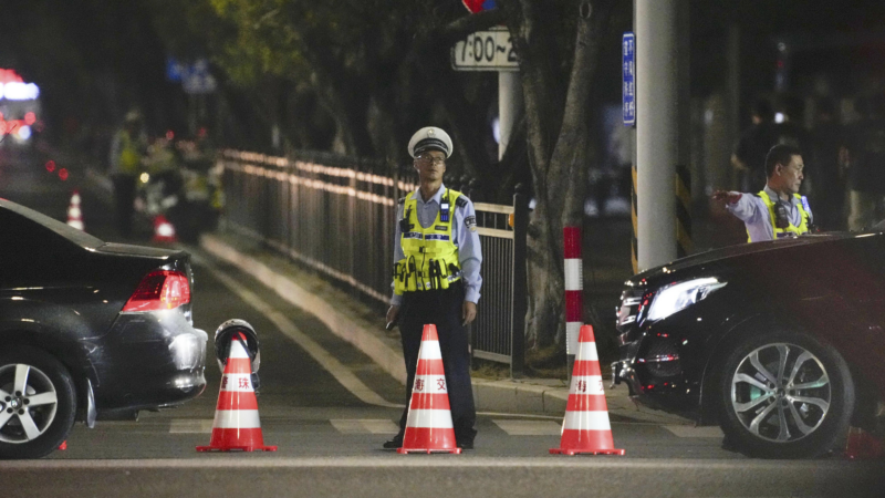
A man who authorities said was upset over his divorce settlement rammed his car into a crowd of people exercising at a sports complex in southern China, police said.


