Severe Storm Development Around Alabama
Update from National Weather Service, 5:45 pm: “A TORNADO WARNING REMAINS IN EFFECT UNTIL 600 PM CDT FOR SOUTHEASTERN COLBERT, NORTHEASTERN FRANKLIN, AND SOUTHWESTERN LAWRENCE COUNTIES.
At 5:42 PM CDT, a large and extremely dangerous tornado was located near Russellville, moving east at 35 mph. This is a PARTICULARLY DANGEROUS SITUATION. TAKE COVER NOW! … You are in a life-threatening situation. Flying debris may be deadly to those caught without shelter. Mobile homes will be destroyed. Considerable damage to homes, businesses, and vehicles is likely and complete destruction is possible. Locations impacted include Russellville, Littleville, Mt. Hope, La Grange, Tharptown, Smith, Rockwood, Landersville, Newburg and Hatton.
Update – 2:40 pm – Gov. Kay Ivey will give a news conference at 4 pm on the severe weather. A tornado watch is expected to be issued for northern Alabama later this afternoon.
Update – 1:35 pm – Quarter-sized hail, damaging winds to 60 mph and tornadoes will be possible this afternoon. Northeast Jefferson County is under a severe thunderstorm warning until 2:15 pm. Pea-sized hail has been reported in Sayre. Areas affected include Gardendale, Clay, Chalkville, and Argo. More thunderstorms expected tonight. Hail expected to be the size of tennis balls with possible winds up to 80 mph. Northern counties are expected to see the biggest impacts. Littleville in the Florence and Muscle Shoals area had the first tornado warning of the day. It expires at 2:15.
Update – 11:30 am – There’s a moderate risk for strong tornadoes and damaging winds up to 80 mph and tennis ball-sized hail. The biggest threat is late this evening and into the overnight hours, according to the latest forecast from the National Weather Service in Birmingham.
The primary threat for severe weather remains late this evening into the overnight hours. Here is our updated timing graphic, threats remain strong tornadoes, very large hail and damaging winds. #ALWX #BMXWX pic.twitter.com/T1xH2hs6cp
— NWS Birmingham (@NWSBirmingham) March 19, 2018
_______________
Two waves of severe weather are expected Monday around the state, including supercell thunderstorms, according to the Alabama Emergency Management Agency. “Supercells are the most violent of storms, and all modes of severe weather are possible, including a couple of strong to violent tornadoes, hail approaching baseball size, and non-tornadic wind gusts near or above 70 mph,” Jim Stefkovich, Alabama EMA meteorologist said.
Those storms are expected to hit from 2 to 6 pm. Severe weather isn’t a given, but if showers become thunderstorms, the atmosphere will become ripe for explosive supercells, Stefkovich says.
The second wave of storms, expected from 3 to 9 pm, brings the greatest risk of severe weather with supercells moving southeast throughout the state.
Emergency officials urge residents to prepare for potential dangerous weather. Some school systems and government offices throughout the state are closing early.
“The time for Alabama residents to prepare is now, while we never know exactly what the storms will bring, it it is important for citizens to know a potential threat exits,” Alabama EMA Director Brian E. Hastings said in a statement.

NASA targets Artemis II crewed moon mission for April 1 launch
A six-day launch window opens on April 1 from NASA's Kennedy Space Center in Florida. The lunar orbital mission would be the first time humans have returned to the moon since Apollo 17 in 1972.
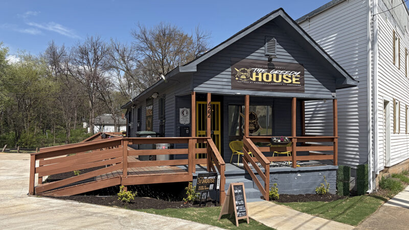
Auburn football player uses NIL funds to open a community hub in Birmingham
Jourdin Crawford, a freshman defensive lineman at Auburn, used earnings from a Name, Image, and Likeness deal to give back to his hometown.

Fear of Iranian mines in the Strait of Hormuz could further slow the flow of oil
Attacks by Iran have already nearly halted the flow of oil through the vital waterway as commercial ship crews fear being hit by missiles, drones or mines.

Bruno Mars adds yet another milestone to his career with ‘The Romantic’
Bruno Mars is the most-listened to artist in the world on Spotify. He's won 16 Grammys. In case you thought there were no battles left for him to win, this week he unlocked another achievement.
There’s more than one path to a confessional song
On new albums by viral sensation Yebba and studio whiz Pimmie, it's clear modern R&B has been clearing space for vastly different stripes of singer-songwriter.

Suspect in attack at Michigan synagogue is dead, officials say
Security officers at Temple Israel had "engaged the threat" that apparently started with a vehicle ramming into the building, according to Oakland County Sheriff Mike Bouchard.