Hurricane Erin: No direct hit forecast on U.S., but flood risks prompt evacuations

Hurricane Erin is spinning toward the Bahamas and the U.S. as a major hurricane, with sustained winds near 140 mph. It will likely cause “life-threatening surf and rip currents” at beaches along much of the East Coast for the next several days, the National Hurricane Center says — and expectations of dangerous flooding are triggering evacuation orders.
Erin isn’t expected to make landfall in the U.S., but forecasters at the National Weather Service office in Morehead City, N.C., warn that areas such as North Carolina’s Outer Banks should be prepared for waves as high as 15 to 20 feet or more — and to expect days of potential flooding.
“Coastal flooding will likely be a long duration issue, impacting Highway 12,” the NWS office said, warning that parts of the main highway running along the Outer Banks could be impassible for several days.
The North Carolina transportation department said a mandatory evacuation order was in effect for all visitors to Ocracoke and Hatteras Islands, adding that the order will take effect for residents early Tuesday.
Officials in Hyde County, N.C., issued a state of emergency for Ocracoke Island, warning that emergency vehicles would not be able to use Highway 12 to reach and transport people in distress. To the north, Dare County declared a state of emergency for the entire county.
Erin is currently about 140 miles north of Grand Turk Island and moving west-northwest at 10 mph, according to the hurricane center’s 2 p.m. ET update. The storm continues to grow, extending hurricane-force winds up to 80 miles from its center, and tropical-storm-force winds extending up to 230 miles.
The Turks and Caicos Islands were seeing waves of over 10 feet and sea swells of 8 to 12 feet, “occasionally reaching up to 17 feet this morning,” the Turks and Caicos Islands National Weather Service said on Monday. The islands began the day under a tropical storm warning as Erin began to move past them to the north; the weather agency also issued a flood warning due to heavy rain.
Despite the expected lack of a direct hit on the U.S. and nearby territories, Erin is raising the risk of tall waves and dangerous rip currents along the eastern coastline from Florida to Massachusetts as it moves northward, forecasters said on Monday.

Tropical-storm-force winds were only predicted to directly affect a small part of the U.S. mid-week, with a risk area that also centers on the Outer Banks. As the large storm moves north, Bermuda and Canada also face dangers.
The Category 4 storm’s core “is expected to pass to the east of the southeastern Bahamas today and move between Bermuda and the east coast of the United States by the middle of the week,” the NHC said. It predicts Erin will make a gradual turn toward the northwest later Monday and north on Tuesday.
Erin has weakened a bit since it rapidly strengthened into a Category 5 storm with winds of nearly 160 mph over the weekend. Its intensity has continued to vacillate, but forecasters expect Erin to grow larger as it approaches the U.S., extending its potential to cause flooding and other impacts.
Climate change is causing hurricanes to get more powerful on average. In general, air that’s becoming warmer and more moist provides more fuel for extreme weather, from hurricanes to intense inland storms. Experts say that warm ocean temperatures can also help storms carry a great deal of water, raising the risk of flooding — the main cause of death from hurricanes.
Erin is the first Atlantic storm of the season to reach hurricane status, after several tropical storms got the 2025 season off to a relatively slow start. There are signs that the season may now be ramping up: The hurricane center says it’s monitoring a tropical wave over the eastern Atlantic that could develop into a storm over the next week.

Pentagon shifts toward maintaining ties to Scouting
Months after NPR reported on the Pentagon's efforts to sever ties with Scouting America, efforts to maintain the partnership have new momentum
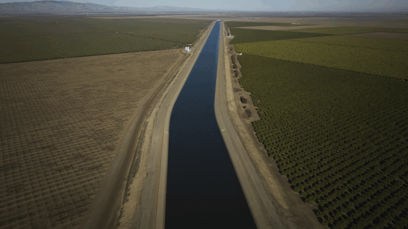
Why farmers in California are backing a giant solar farm
Many farmers have had to fallow land as a state law comes into effect limiting their access to water. There's now a push to develop some of that land… into solar farms.

Every business wants your review. What’s with the feedback frenzy?
Customers want to read reviews and businesses need reviews to attract customers. But the constant demand for reviews could be creating a feedback backlash, experts say.

Tariffs cost American shoppers. They’re unlikely to get that money back
After the Supreme Court declared the emergency tariffs illegal, the refund process will be messy and will go to businesses first.
‘Get back to integrity’: Oklahoma’s Kevin Stitt on Republicans after Trump
NPR's Steve Inskeep asks Oklahoma Gov. Kevin Stitt about his spat with President Trump, immigration and the future of the Republican Party.
Civil rights leaders say the racial progress Jesse Jackson fought for is under threat
Activists say racial progress won by the Rev. Jesse Jackson is under threat, as a new generation of leaders works to preserve hard-fought civil rights gains.