Defense Department will stop providing crucial satellite weather data
The U.S. Department of Defense will no longer provide satellite weather data, leaving hurricane forecasters without crucial information about storms as peak hurricane season looms in the Atlantic.
For more than 40 years, the Defense Department has operated satellites that collect information about conditions in the atmosphere and ocean. A group within the Navy, called the Fleet Numerical Meteorology and Oceanography Center, processes the raw data from the satellites, and turns it over to scientists and weather forecasters who use it for a wide range of purposes including real-time hurricane forecasting and measuring sea ice in polar regions.
This week, the Department of Defense announced that it would no longer provide that data, according to a notice published by the National Oceanic and Atmospheric Administration, NOAA.
“I was surprised, given how important it is for forecasting hurricanes and monitoring important features like sea ice,” says Brian Tang, a hurricane researcher at the University at Albany. “This is data that forecasters use regularly.”
The Navy did not respond to questions about why it has stopped sharing the data with scientists and forecasters.
A spokesperson for the U.S. Space Force, which is responsible for the satellites, said in a statement that the satellites and instruments are still functional, and the Department of Defense will continue to use them even as it cuts off access for scientists.
“It’s not an issue of funding cuts,” says Mark Serreze, the director of the National Snow and Ice Data Center, a federally funded research center in Colorado that has relied on the soon-to-be-terminated Defense Department data to track sea ice since 1979. “There are cybersecurity concerns. That’s what we’re being told.”
The Navy did not respond to questions about what those concerns are.
Tracking hurricanes as they form
The Department of Defense collects satellite weather information because it has ships and planes operating all over the world, and needs information about conditions in the oceans and atmosphere.
But the Defense Department data also allow hurricane forecasters to see hurricanes as they form, and monitor them in real-time.
“What we can do with the data is we can see the structure of hurricanes,” Tang explains, “Sort of like an MRI or X-ray.”
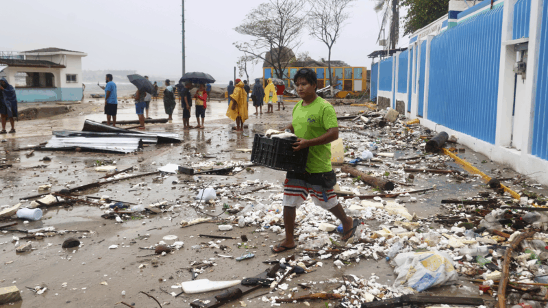
For example, hurricane experts can see where the center of a newly formed storm is, which allows them to figure out as early as possible what direction it is likely to go, and whether the storm might hit land. That’s important for people in harm’s way, who need as much time as possible to decide whether to evacuate, and to prepare their homes for wind and water.
The data also allows forecasters to see when a new eyewall has formed in the center of the storm, which can indicate that the hurricane is about to intensify. For example, Tang says, forecasters at the National Hurricane Center used the data from Defense Department satellites to observe a circular eyewall forming in Hurricane Erick earlier this month as it moved over the Pacific.
“That was a really good indication that the storm was about to intensify much more quickly than the computer models indicated it was going to intensify,” Tang says, which allows forecasters to publish early warnings. The storm hit Mexico as a destructive Category 3 hurricane.
NOAA, which oversees the National Hurricane Center, says the loss of the Defense Department data will not lead to less-accurate hurricane forecasts this year. In a statement, NOAA communications director Kim Doster said, “NOAA’s data sources are fully capable of providing a complete suite of cutting-edge data and models that ensure the gold-standard weather forecasting the American people deserve.”
Other satellites, operated by NASA and NOAA and by other countries, collect similar data, Tang says. But hurricanes form and intensify so rapidly that forecasters need near real-time information, which requires as many satellites as possible since no one sensor is always pointed at a given storm. Without the Defense Department data, there will be bigger gaps in time when forecasters will not know the current conditions inside a storm. That could lead forecasters to be surprised when a hurricane suddenly intensifies.
That’s particularly concerning because, as the Earth heats up, large, rapidly intensifying hurricanes are getting more common. Storms that gather strength quickly right before they hit land are particularly deadly because people have little time to prepare and evacuate.

A scramble to keep monitoring sea ice
The Defense Department satellites were also the main source of real-time information about changes to sea ice.
Sea ice data is important for a lot of reasons. Permanent sea ice in the Arctic and Antarctic is shrinking rapidly because of climate change, and the exact amount of ice fluctuates dramatically over the course of each year.
In any given year or season, the amount of sea ice in the Arctic informs international shipping decisions, because when there is less sea ice around the North Pole, ships can take shorter routes across the globe.
On the other end of the planet, sea ice helps slow the melting of glaciers in Antarctica, which threaten the planet with catastrophic sea level rise if they collapse.
Now, as a result of the Defense Department’s decision, six widely used datasets about sea ice at both poles will be interrupted, according to the National Snow and Ice Data Center.
“We’ve been very reliant on these data for many years,” explains Serreze, the director of the center. He says the Defense Department had warned him that the data would no longer be available after September. Then, this week, the deadline was moved up to June 30th.
“This June 30 deadline has really caught us by surprise,” Serreze says. “And so we have to kind of blitz here to get things in order.”
Serreze’s team had already planned to switch to an alternate source of sea ice information: a sensor on a satellite operated by the Japanese government. The U.S. has access to data from that sensor through an agreement between NASA and the Japanese government’s space agency.
But they thought they had months to make the switch, which requires a lot of labor-intensive calibration. Now they have just days before they lose access to the American data. “It’s a blow,” says Serreze.
And this is happening in the middle of a record-breaking year: so far in 2025 there is less sea ice in the Arctic than any other year since satellite records began in 1979.
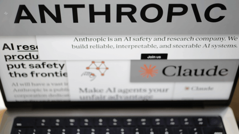
Deadline looms as Anthropic rejects Pentagon demands it remove AI safeguards
The Defense Department has been feuding with Anthropic over military uses of its artificial intelligence tools. At stake are hundreds of millions of dollars in contracts and access to some of the most advanced AI on the planet.

Hillary Clinton calls House Oversight questioning ‘repetitive’ in 6 hour deposition
In more than seven hours behind closed doors, former Secretary of State Hillary Clinton answered questions from the House Oversight Committee as it investigates Jeffrey Epstein.
Chicagoans pay respects to Jesse Jackson as cross-country memorial services begin
Memorial services for the Rev. Jesse Jackson Sr. to honor his long civil rights legacy begin in Chicago. Events will also take place in Washington, D.C., and South Carolina, where he was born and began his activism.

In reversal, Warner Bros. jilts Netflix for Paramount
Warner Bros. says Paramount's sweetened bid to buy the whole company is "superior" to an $83 billion deal it struck with Netflix for just its streaming services, studios, and intellectual property.

Trump’s ballroom project can continue for now, court says
A US District Judge denied a preservation group's effort to put a pause on construction
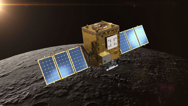
NASA lost a lunar spacecraft one day after launch. A new report details what went wrong
Why did a $72 million mission to study water on the moon fail so soon after launch? A new NASA report has the answer.